The World Highways magazine published a great article in its July/August 2018 issue : “Smarter Compaction” with Intelligent Compaction (IC) and Paver-Mounted Thermal Profiler (PMTP) technologies to improve construction quality. Check it out!
Smarter Compaction with IC and PMTP

Veta 5.2.47 Released
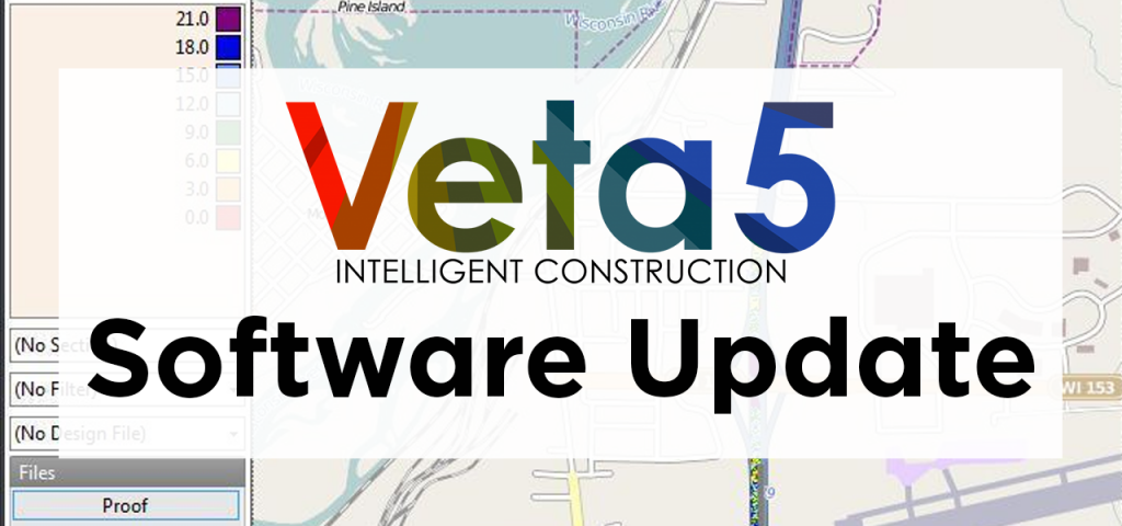
The highlights from this update are some fixes related to stationing, MOBA thermal profiling files, and TDS (standard file format) files. Existing MOBA thermal profiling and TDS projects will be reprocessed.
Import
- Fixed: TDS files were not imported correctly.
- Fixed: MOBA thermal profiling files that were continued on a later date did not have the correct times.
- Change: Account for new paveproj files saved by MOBA’s PPM software.
Alignments
- Fixed: LandXML files with multiple alignments only used the stations from the first alignment. Existing alignments will be reprocessed. Filters using these alignments will need their selections checked.
- Change: Initial alignment names now include the file extension (kml, kmz, or xml) to differentiate between multiple alignments with the same name.
Filters
- Fixed: A copy of a generated filter could not be deleted or renamed.
- Fixed: Changing the selected filter group back and forth could cause the “Apply filter group” button to be incorrectly hidden. Because it is not possible to determine the correct state in previous projects, existing projects will always show the button until the filter group is applied.
- Fixed: Making a copy of a data filter would list it twice.
- Fixed: Station offsets for new exclusion filters were always in meters.
- Change: New exclusion filters include the default text, “Exclusion – “.
Analysis
- Fixed: Analysis might fail if Speed or Temperature were not selected.
ICDM Guidelines 5.1 Published
The Intelligent Construction Data Management (ICDM) Guidelines 5.1 is published! ICDM Guidelines provide guidelines for intelligent construction technologies (ICT) vendors and provide detailed procedures for users export Veta-compatible data files. The latest addition includes: Leica Geosystem intelligent compaction (IC) retrofit data and MOBA Compaction Assist (MCA-3000) IC retrofit data. Check it out!
Take the Guesswork Out with Intelligent Compaction

Equipment World published an excellent article on intelligent compaction: Night Vision: Intelligent Compaction giving paving contractors better results in the dark.
Intelligent compaction is a no-brainer! It helps roller operators to take the guesswork out! According to the Oregon DOT, “There’s not too many technologies that I’m aware of where you could do a 10-percent increase just by using technology,” says Larson. “But that’s exactly what we do with intelligent compaction.”
Veta 5.2 Released
We are pleased to announce the release of Veta 5.2. This version focuses on alignments and additional file support. We added limited support for LandXML files, including the ability to read station information. Support was also added for Leica compaction files and MOBA EVIB compaction files. Zip and Gzip files can also be imported, eliminating the need to extract the data first. Finally, we added support for the AASHTO draft specification for intelligent construction data files. We currently support compaction, thermal profiling, and laser test roller files. Additional information can be found on the new Developers page. All changes are listed below.
Installation
- Microsoft .NET 4.6.2 is required.
- Windows 7 SP 1 is the minimum supported operating system.
- Veta 5.2 can be installed on the same machine as previous versions.
- Veta 5.2 can open projects created in previous versions, but not vice-versa.
Import
- New: Added support for TDS files (standard file format) for compaction, thermal profiling, and laser test roller.
- New: Added support for Leica compaction files.
- New: Included support for EVIB when using MOBA compactors.
- New: Zip and Gzip data files that contain only one file are now supported.
- Change: Specifying the machine vendor is no longer necessary, so the dropdown was removed from the import wizard.
Data Files
- Fixed: Viewing files could cause data to be incorrect or missing.
Alignments
- New: Added support for KML.
- New: Added limited support for LandXML alignments and stations.
- Change: Alignments were originally used only for drawing on the map but have now become an integral part of the software. To account for this, the nomenclature has changed:
- Alignment is now Alignment File (each file can contain multiple alignments)
- Drawing is now Alignment (stations and station equations/regions are defined here)
- Object is now Line
Filters
- New: The offset location filter can now use stations.
- Change: The Position input for offset location filters has been removed. Positive numbers are the right of the reference line, negative to the left.
Analysis
- Fixed: Thermal profile did not always redraw.
Misc
- New: Added a Zoom to Station option.
- Change: The options “Use SI units” and “Location unit” have been moved to the Project Properties. New projects will use the most recently used values for these items as default.
- Change: Generated final coverage for all passes that only contain static data will no longer show ICMV.
- Change: Improved map performance.
- Fixed: Some previous projects (3+ years ago) could not be opened successfully.
Veta 5.1.21 Released
This important update fixes several issues.
Import
- Fixed: Corrected checking for invalid coordintes for MOBA IC data. Existing projects will be automatically reprocessed.
Data Files
- Fixed: Viewing compaction files can cause data to be incorrect or missing.
- Change: The search tool and viewing of pass counts have been removed from this screen. Search tool may return but it is currently not possible to reliably show the pass counts on a per-file basis in this screen. If you need to see this data, use the Filters.
Sublots
- Fixed: If the coordinate system was UTM but the Location unit in Options was not meters, the sublots length description was labeled as meters, but the sublots were actually defined using the Location unit (feet or survey feet). The actual distance and unit used by Veta were correctly displayed in the Analysis. UTM is by definition, meters.
Misc
- Fixed: Filter groups could sometimes link to filters that no longer exist, causing a crash when applying the filter group. While this does not fix the cause, it will clean groups of bad links.
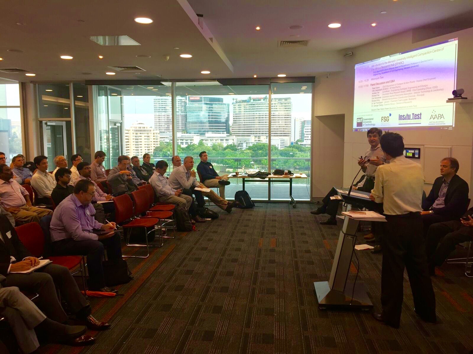
Australia’s First Intelligent Compaction Workshop a Success
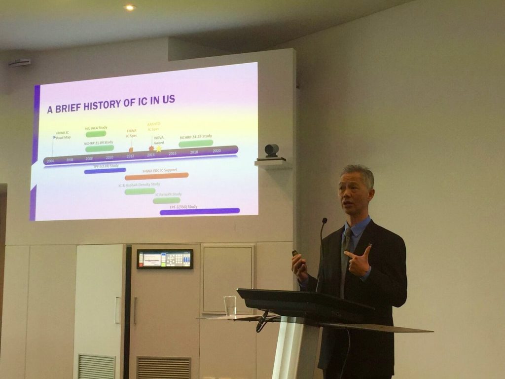
Pavement engineering firm The Transtec Group led Australia’s first Intelligent Compaction (IC) workshop in Brisbane to share what agencies in the US have learned and experienced in the past 15 years of IC implementation.
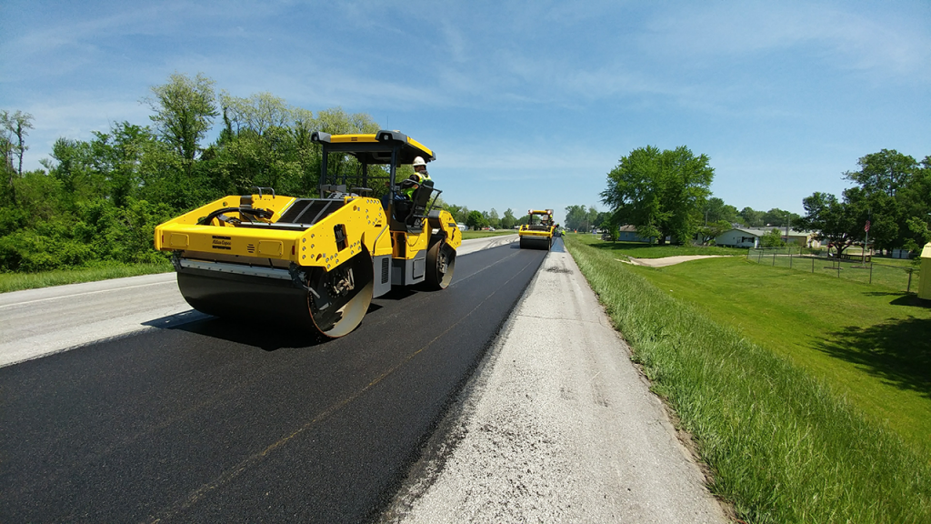
IC is a roller-based technology that measures roller passes, compaction temperatures, and stiffness of compacted materials in real-time. It allows for the real-time detection of paving and compaction issues so paving crews can adjust the operation to improve the final pavement quality. Using IC improves construction quality control (QC) and efficiency to make pavements last longer and to reduce maintenance costs.
The workshop, held on May 8, brought together Australian agencies, research groups, contractors, and vendors. It was organized by the Australian Geomechanics Society and co-sponsored by Monash University, the Australian Road Research Board (ARRB), Queensland University of Technology (QUT), FSG Geotechnics & Foundations, Insitu Test, and the Australian Asphalt Pavement Association (AAPA). Topics covered included IC basics/theory/models, how IC can be implemented, lessons-learned from implementation in the US and China, a demonstration of Veta software, IC case studies from Australia, and a vibrant panel discussion.
Those in the panel discussion included an executive of AAPA, which plans to support road agency and industry members in the introduction of IC and address any barriers.
“The Australian Asphalt Pavement Association and its members are interested in IC as part of our industry’s commitment to continual improvement,” said Dr. Erik Denneman, AAPA Director of Technology and Leadership. “We expect that IC will lead to increased uniformity of compaction.”
Peter Evans, the Deputy Chief Engineer with the Department of Transport and Main Roads (TMR) of Queensland, was also member of the panel discussion.
“It was interesting to see how well-developed IC technology is now and its increasing use in the US,” said Evans. “I look forward to working with the industry to introduce this into TMR.”
Dr. George Chang, Director of Research at The Transtec Group, led the workshop.
“The main takeaway from Transtec’s IC workshops is for agencies, groups, and companies to fully understand IC’s benefits and see how it can be a great quality control tool,” said Dr. Chang.
The Transtec Group recently provided complete consulting support to the Missouri Department of Transportation (MoDOT) during a year-long IC and infrared scanning (IR) demonstration project. Because of the success of the project, MoDOT has committed to fully implementing IC by 2021.
Other agencies or companies interested in IC or IR—also known as paver-mounted thermal profiling (PMTP)—can get started with the Intelligent Construction Technical Support Center. Services offered include online HelpDesk support for Veta software, training workshops, field project support, and complete support packages.
Veta 5.1.16 Released
This update addresses problems that will prevent downloading data directly from MOBA.
Import
- Fixed: Downloading MOBA data could fail if a file had no data.
- Change: Server addresses for downloading MOBA have been updated. It is not known how long previous 5.x versions will be able to download MOBA data.
The Transtec Group Provides Complete Consulting Services to Year-Long MoDOT IC, IR Project
Veta 5.1 Released
We are pleased to release Veta 5.1. We have included support for MOBA intelligent compaction files, added a new type of location filter, added charts that can be used for quality control, and created a report to list all filter settings.
Because this version only contains new features and fixes, it should be used to replace 5.0. Due to limited resources, we are currently planning to support only 5.1+, not 5.0.
Installation Notes
- Microsoft .NET 4.6.2 is required.
- Windows 7 SP 1 is the minimum supported operating system.
- Veta 5.1 can be installed on the same machine as previous versions.
- Veta 5.1 can open projects created in previous versions, but not vice-versa.
Import
- New: Added support for MOBA intelligent compaction files.
- Fixed: Adding a data file that did not contain any new data could cause a crash when viewing “Imported file name” for an operation filter.
Filters
- New: Added a new location filter that be created using only one line from an alignment and offsets. For example, 12 to 24 feet from the centerline. This allows the use of alignments that do not have all lanes defined.
Sublots
- Fixed: Changing most of the values did not clear the sublots.
Analysis
- New: Added quality control charts using data from sublots. This is the first pass at creating reports that can help for quality control.
Reports
- New: Created a new report that lists all filter settings for data lot filter groups. This provides an easier way to check for filter groups that may not have the correct settings.
- Change: The screen now attempts to only show the options that are applicable and will disable the “Create” button if the selected options will not produce a report. Note there are still some rare scenarios that will not create a report, but these should only be scenarios that are not practical.
Download Veta
Veta is a map-based tool for viewing and analyzing geospatial data. Download Veta for free.
![]()